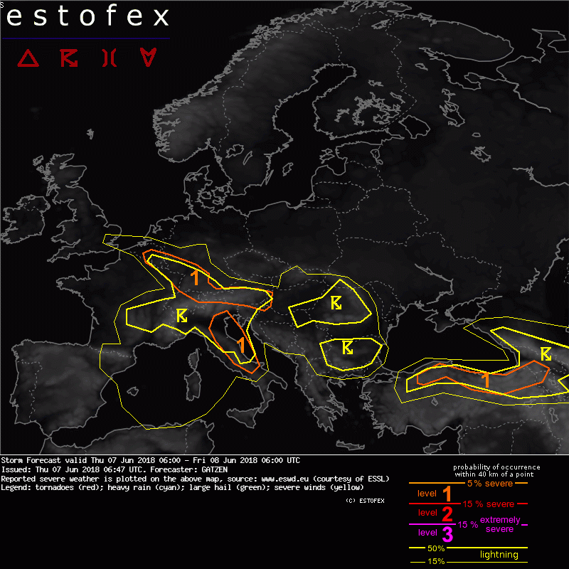
A level 1 was issued across Belgium, south-west Germany, central and southern Austria mainly for locally extreme rainfall and large hail.
Quelle: estofex.orgA convergence zone associated with high precipitable water content remains quasistationary from southern Netherlands and Belgium towards southern Germany. Due to rich low-level moisture, CAPE evolves in response to diurnally steepening lapse rates and due to weak CIN, thunderstorms will develop over the mountains. Storm motion will be north-westward along the convergence zone increasing the potential of torrential rainfall. Additionally, large hail is forecast with the stronger storms before storms merge and cluster along the convergence line. Farther east, isolated storms may produce severe wind gusts due to the deeper and drier boundary layer.
leider noch immer kein aufatmen in den bereits von Unwettern betroffenen Gebieten.
und vermutlich wird es auch heute im OÖ Zentralraum keinen regen geben


