A level 1 and level 2 are issued for south-central Europe for excessive convective precipitation, large hail and severe convective wind gusts.
... south-central Europe ...
Surface dewpoints in the mid- to upper tens in conjunction with daytime heating support moderate CAPE, mostly in the 300 too 1000 J/kg range, in a broad band ahead of the cold front. The richest moisture (and therefore the highest CAPE) is in place close to the cold front on the one hand and in the upvalley flow regimes of the Alpine forelands on the other hand, though capping is stronger in the latter regime. Sunday's 12 UTC soundings confirm this assumption by showing the most robust CAPE (900-1800 J/kg), but also a fairly strong cap around the 850 hPa level across N Italy, which is grazed by an elevated mixed layer that has detached from Spain and NW Africa.
Numerous small vorticity maxima in the SW-erly to W-erly mid-level flow provide large-scale lift, whereas the contribution of temperature advection is largely neutral ahead of the front and turns strongly negative in its wake. On smaller scales, the cold front itself plus various outflow boundaries (which in turn may become dominant enough to modulate the front line in the course of the day) provide a fairly convincing lift mechanism. Vertical wind shear is moderate with 0-6 km values varying between 10 and 20 m/s.
To sum it up, all conditions for organized convection are in place, though none of them stands out. Agreement of the model pool on mesoscale details is poorer than usual, hence this forecast leans towards a mean of the provided spectrum plus a pinch of climatology.
Scattered elevated convection is expected already in the morning near the cold front (i.e., along the NW rim of the highlighted area), most notably in S Germany and possibly adjacent parts of the Czech Republic, Austria and Switzerland. Either these storms root down to the surface or new surface-based convection forms from noon onwards. Scattered to widespread activity is then expected in the entire region from the Czech Republic across the Alps and their forelands to S France. The expected primary storm mode is multicellular, while the odd temporary supercell is possible if storms propagate towards the capped but plentiful CAPE reservoir in the S Alpine forelands. Towards evening, several large storm clusters may emerge.
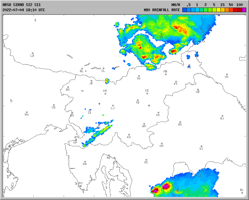
The expected hazards are fairly evenly distributed between excessive rain, large hail and severe convective wind gusts. Regionally speaking, the excessive rain hazard is maximized over the Alps, where deep convection can start quite early and several rounds are possible before the cold front finally replaces the unstable air. The hail and wind hazard are somehwat higher towards the south, where lapse rates are steeper and CAPE is higher, possibly reaching up to 2000 J/kg in N Italy. Other regions of a conditionally enhanced wind hazard include the Czech Republic, where 700 hPa winds are stronger (but convection in the afternoon "prime time" is also more questionable), and the SE Alpine forelands, where an organized regime of strong to severe outflow winds in the evening can run into Hungary and Slovenia.
The strongest convection will gradually weaken overnight, while a few additional, but mostly non-severe storms may form all night long further upstream ahead of various vorticity maxima.
Towards the end of the forecast period, cooler mid-level air in conjunction with weakening winds and a lake-parallel flow suggest prime conditions for a few waterspouts over the 23-25C warm water body of Lake Constance.
Quelle: ESTOFEX (
https://www.estofex.org/)


 Gewitter sind in Salzburg angekommen


 [/URL
[/URL