

A level 2 was issued across parts of E/SE Europe for large to very large hail, excessive rain and swaths of severe to damaging wind gusts.
Both level 2 areas are surrounded by level 1 areas with similar hazards but with less coverage. In addition an isolated tornado threat is present.
Quelle: ESTOFEX (https://www.estofex.org/).... Extreme SE Austria into E Slovenia and Hungary and E Croatia into Serbia ...
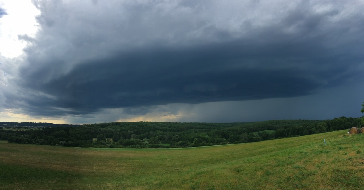
Another (but borderline) level 2 was issued for a potential MCS event during the afternoon into the night. Early and widespread CI is forecast along the Alpine rim (level 1 for heavy rain and hail). Maturing thunderstorms then enter the southern foothills with MLCAPE between 1-2 kJ/kg and rapidly improving wind profiles (DLS well in excess of 20 m/s and 0-3km shear exceeding 15 m/s). With a dry/well mixed BL airmass, strong downdrafts and consolidating cold pools favor a progressive MCS towards Hungary with severe to damaging winds and hail. This is a borderline level 1/2 situation but the wind risk pushed this over the level 1 threshold.

 Lg Andi