
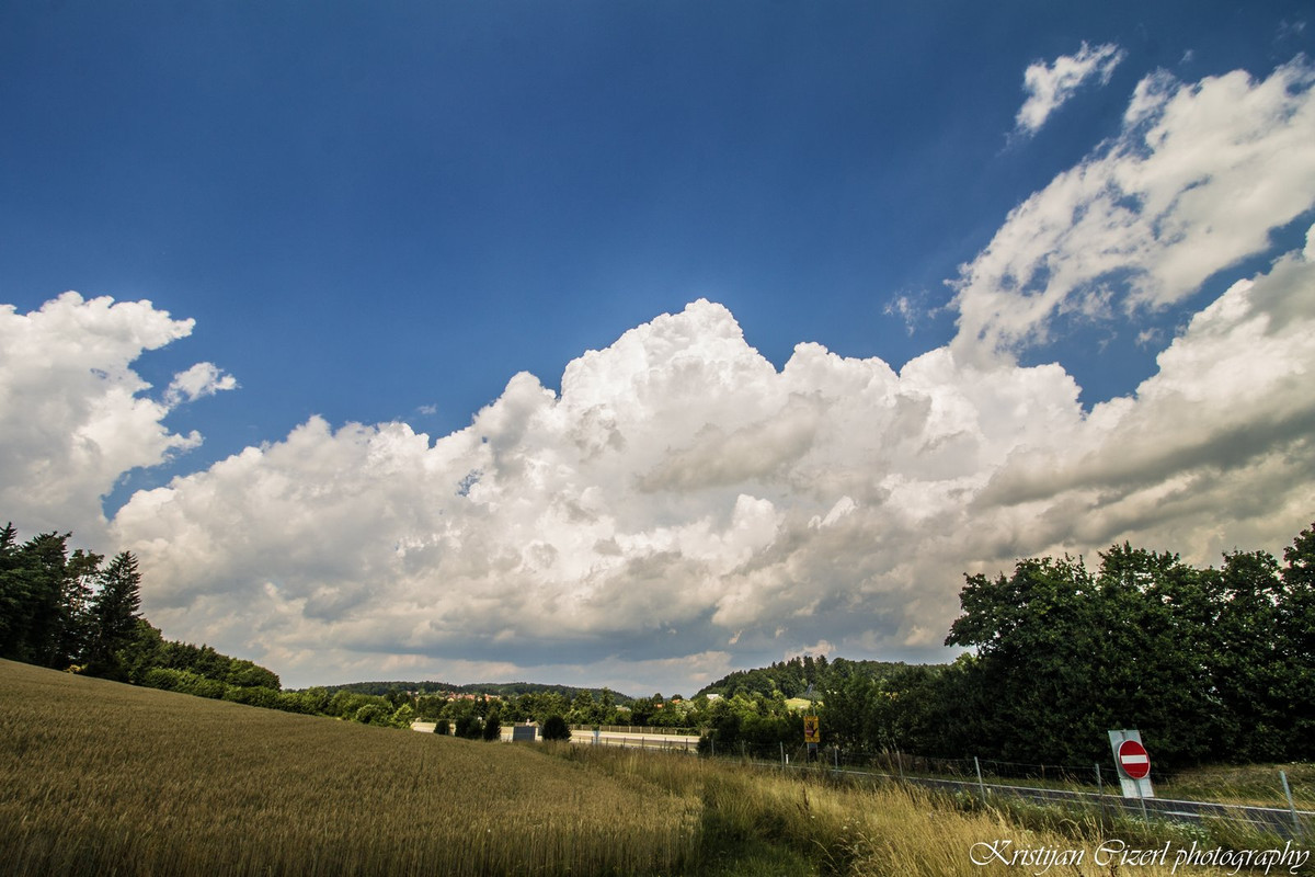
I started very early from Maribor (Slovenia) and went directly to Graz and toward Ilz/Fürstenfeld. First convection near Sinabelkirchen was observed.
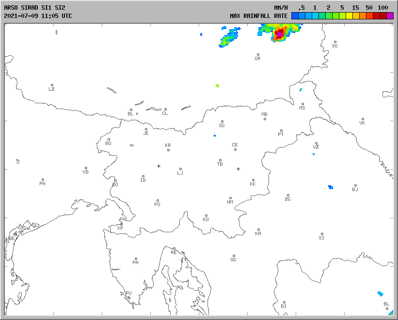
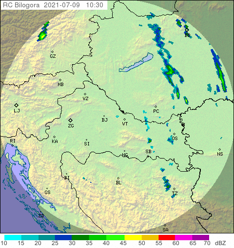
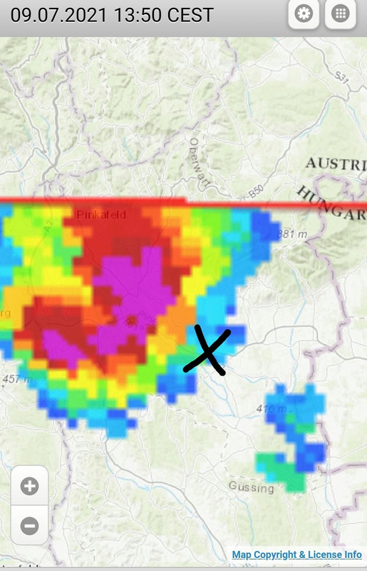
Radar pictures, up to 65 dBZ (from the start to the end of the storm).
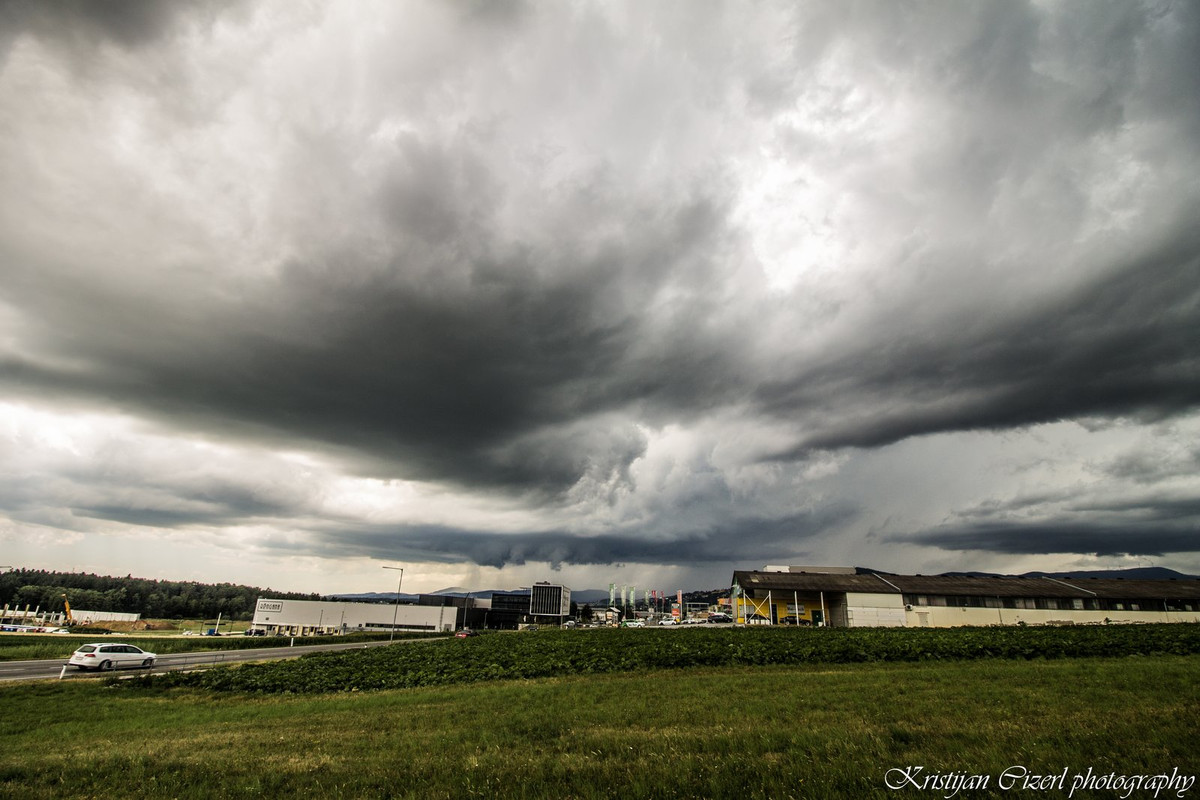
Hartberg ( classic supercell with some rotation).
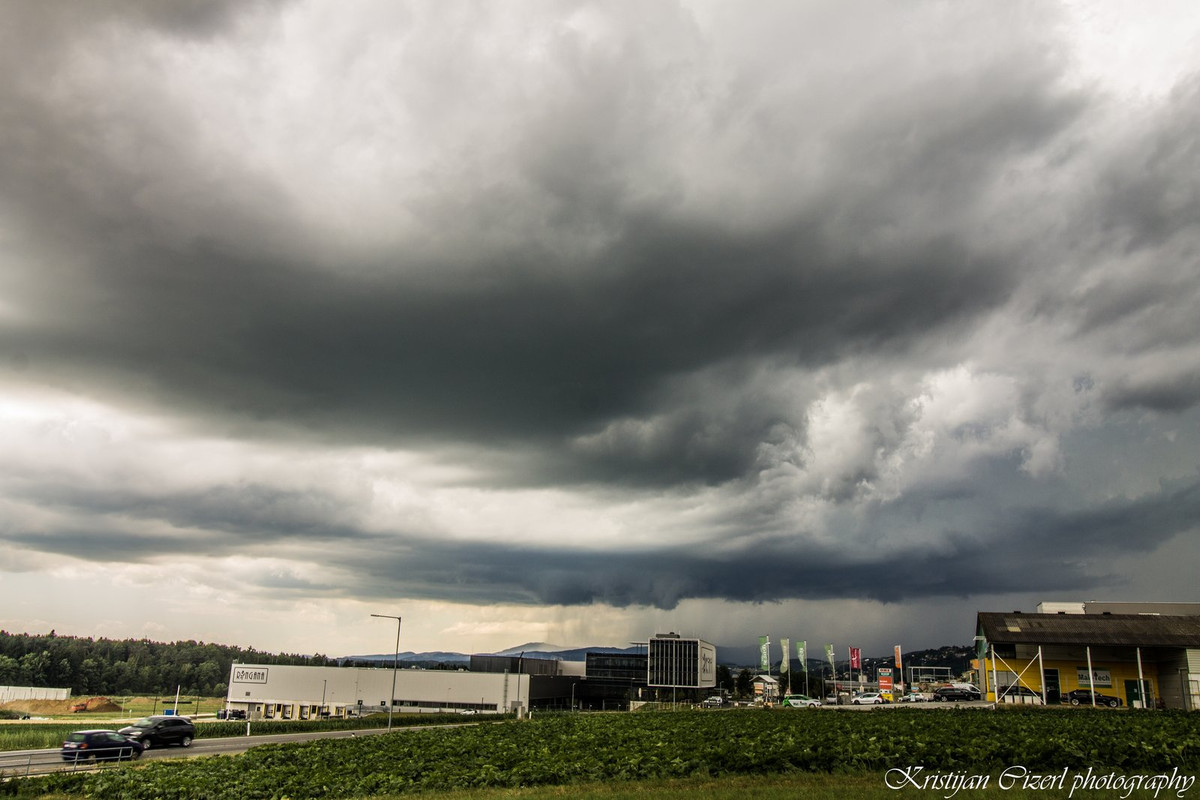
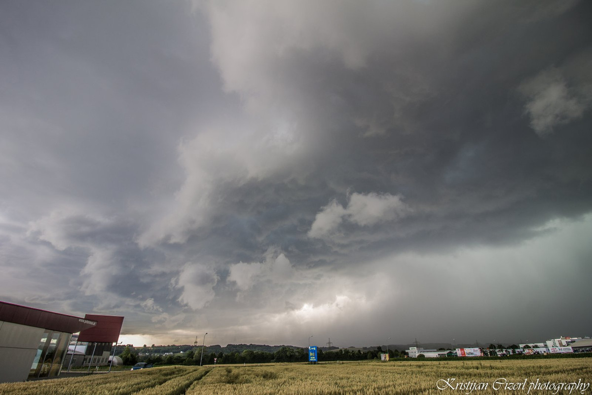
Unterbergen.

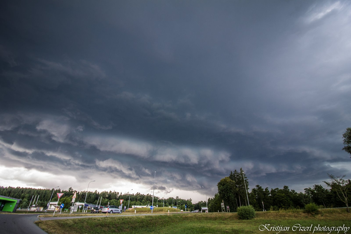
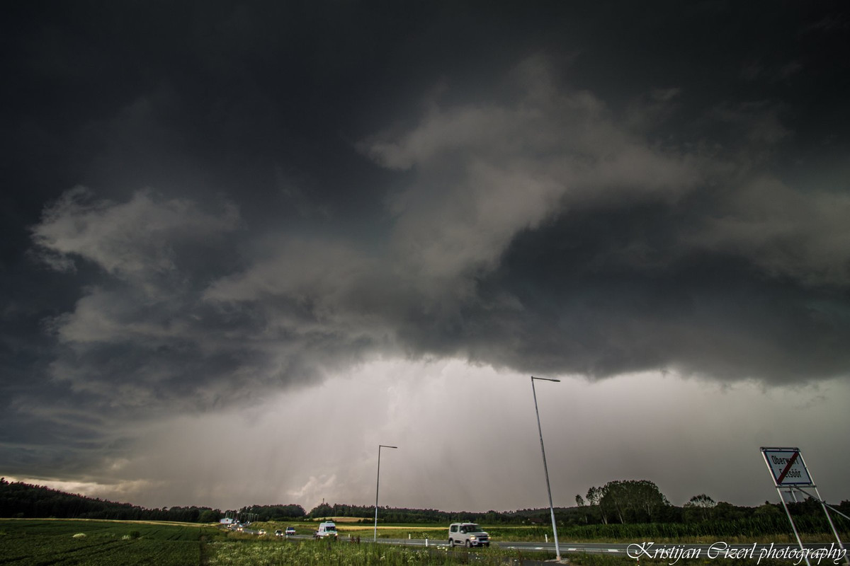
I had to go east more toward Oberwart area. What a classic supercell with rotating mesocyclone and wall cloud.


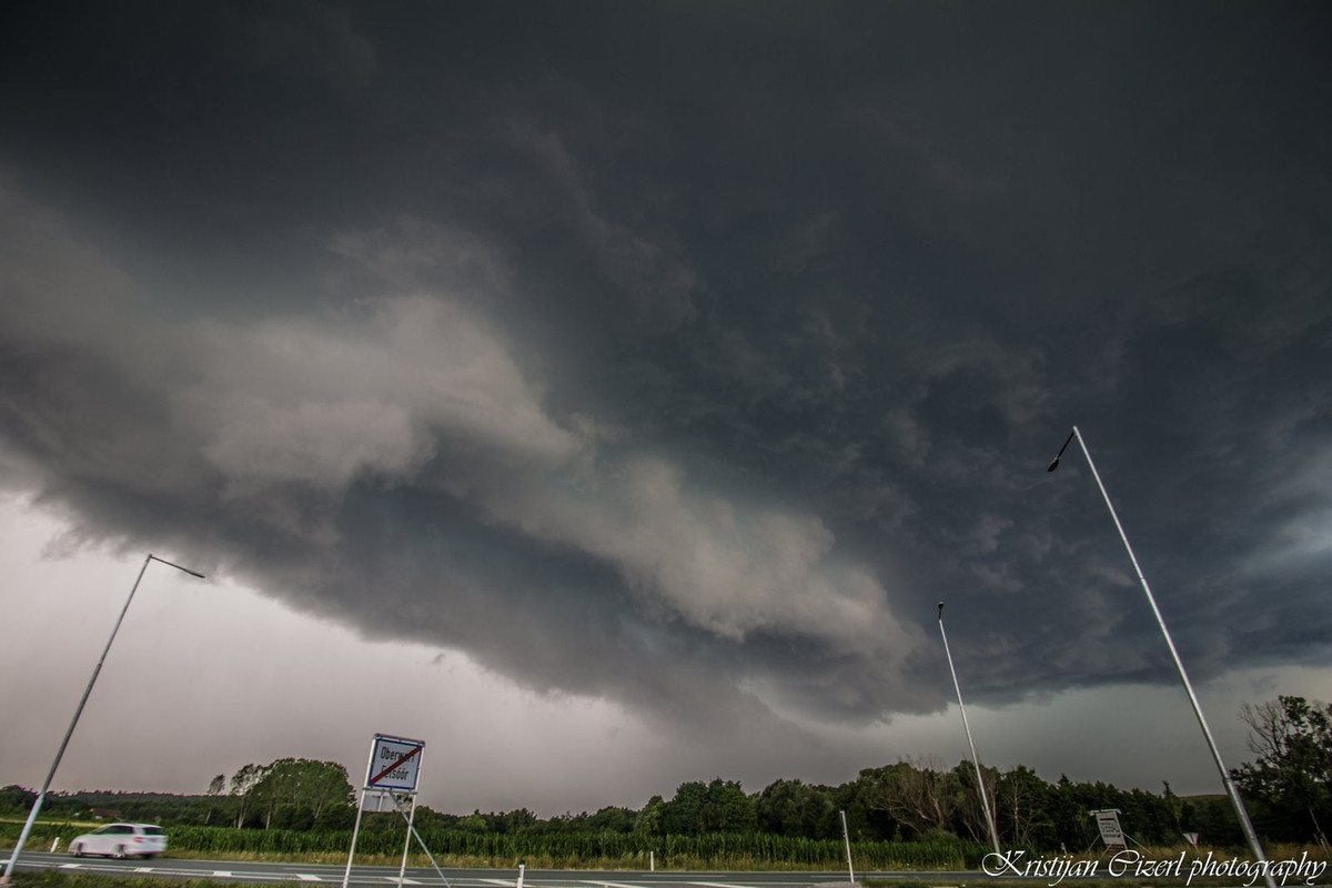
City Oberwart (danger close).
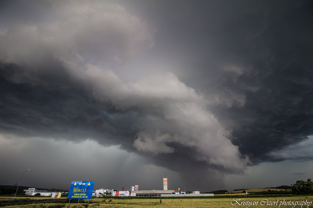
SE part of the town.
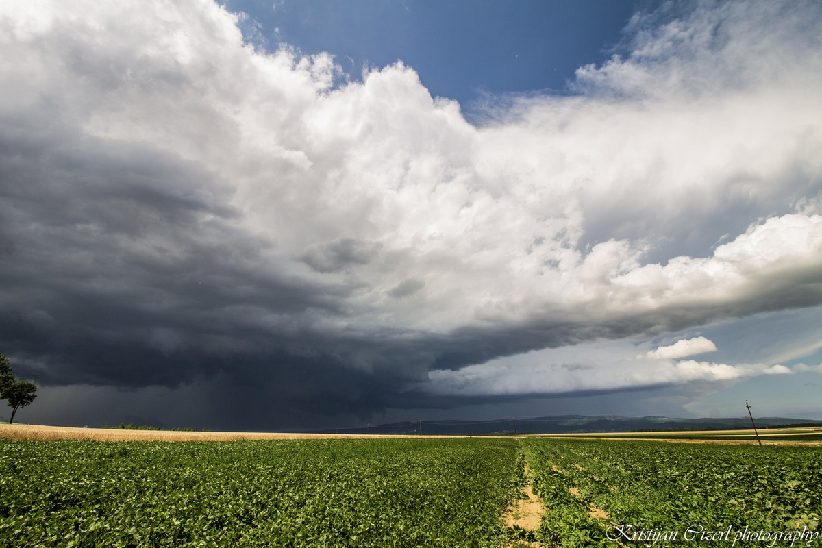
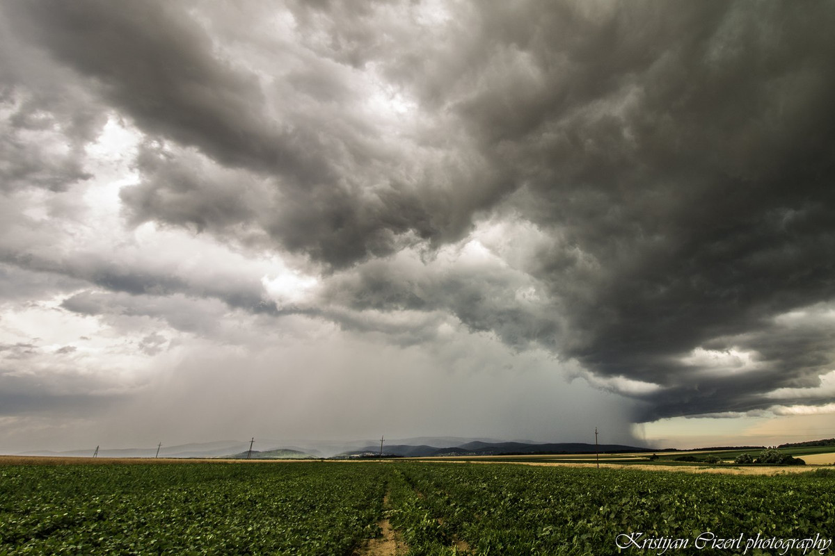
Finally I found a road toward east (Dürnbach im Burgenland), and managed to get some distance over the storm. Awesome shelf cloud, with a low hanging wall cloud over the SW site of the storm.


Near the Hungarian border cell became weaker, as the conditions were worse in that area over the Pannonian plains.
And this was the end of the day, hope you like my report.
Grüße aus Slowenien.


