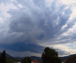
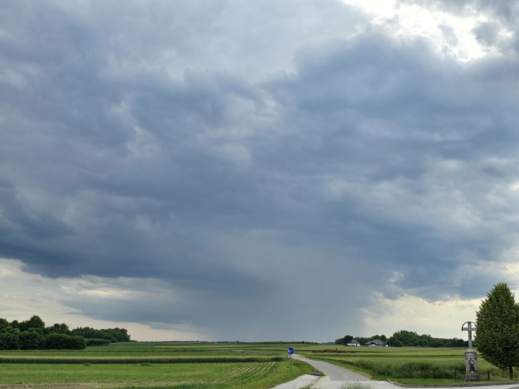
ESTOFEX-Vorersage mit vielen LVL2:

Numerous level 2 areas were issued across S-CNTRL France all the way into far NW Italy, over far NE Switzerland into S Germany and N Austria, another one over SE Austria into W Hungary and finally a small one over NE Italy mainly for large to very large hail, swaths of severe gusts and heavy rain. An isolated tornado event is possible.
All level 2 areas are surrounded by a broad level 1 with similar hazards but lowered probabilities for all kind of severe.
Towards NE Switzerland into Austria and far S Germany, CAPE shear space resembles the parameters further W, although CAPE remains a bit less bullish. ICON however increases 0-3 km shear into the 20 m/s range from Switzerland into S Germany, which would enlarge the lower parts of the hodograph, offering lots of strong SR inflow, with ICON pushing into the 30 kt 0-2 km SR inflow range. Lots of shear for sure for a mix of multicells, bowing segments and a few supercells with all kind of hazards possible including large hail, severe gusts and heavy rain but also an isolated tornado event. We added this area into a level 2 for the chance of a few long-trakced cells with all kind of hazards including hail larger 5 cm in diameter.
... SE Austria into Hungary ...
Another favorable area for organized multicells and a few supercells exists in the mentioned area although there could be an issue with increasing CIN as convection moves away from the orography. EZ remain more bullish with the cap, whereas ICON indicates only weak CIN. As convection taps into a plume of very unstable air into far W Hungary, upscale growth into a longer-lived bow echo is a possibility with up to 15 m/s 0-3 km shear forecast. The main hazard in this area of interest will be large hail, severe gusts and heavy rain. An isolated tornado event during the more (semi) discrete phase is possible. This is more a borderline level 2 event and depends on the final magnitude of the cap.
Quelle: ESTOFEX (
https://www.estofex.org/)